Founded in 2016, Harkin Aerial is an Unmanned Aerial Vehicle (UAV) service provider and consulting firm, specializing in environmental, architectural, construction, and civil engineering applications. For over 5 years, Harkin has been providing clients in these industries with unparalleled drone service, support, and training, as well as laser scanning, photogrammetry, GIS, and mapping expertise.
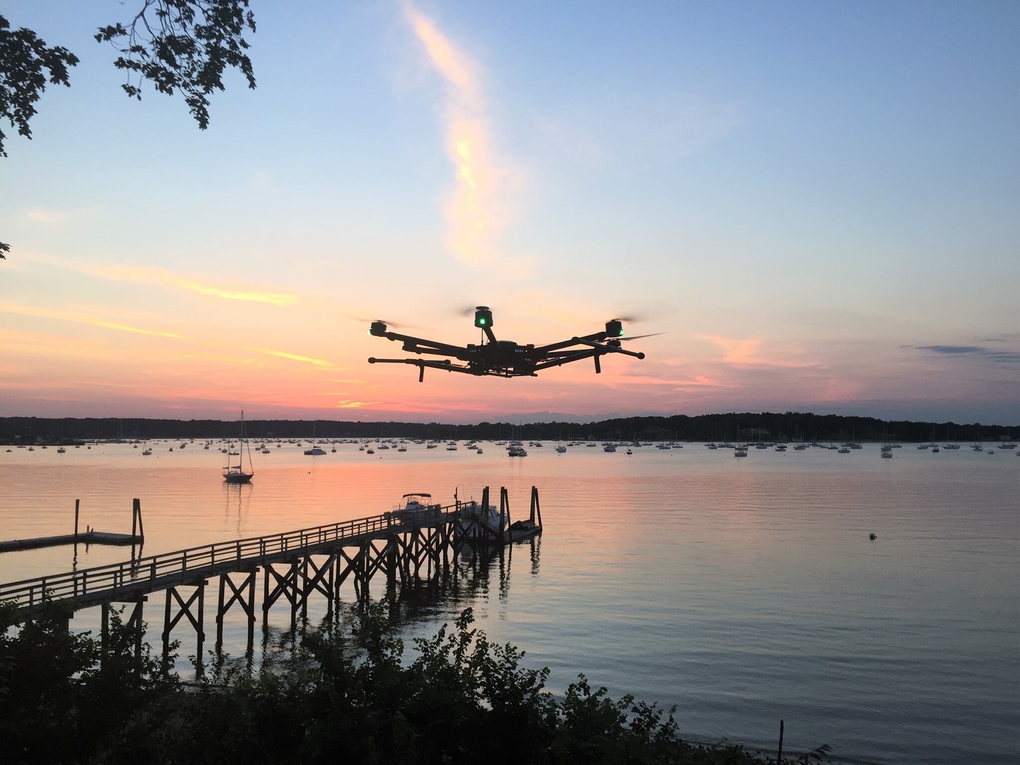
Harkin is equip to perform mapping, thermal imaging, environmental analysis, surveying, and many more tasks. We believe that this technology, along side an experienced team of pilots and engineers, can revolutionize the way our town does business and keep its’ lands and waterways pristine.